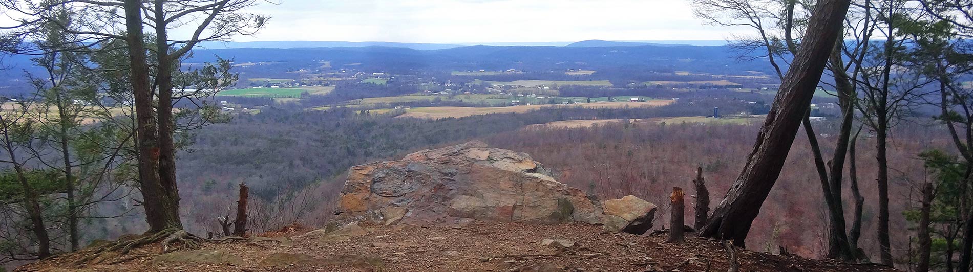
Have you made your New Year’s resolutions? Are you planning to lose weight, get in shape, eat less, or exercise more? Join us on New Year’s Day and put your resolution to the test (res-o-lu-tion: noun: 1. The state or quality of being resolute; firm determination, 2. A serious decision to do something).
While I hope to be hiking up and down the mountain more than a few times, I won’t actually be “leading” the hike. This is essentially a self-lead hike; meaning that it’s just you, the mountain, and your desire to achieve your own personal goals. Of course you’re welcome to hike with others if you’d like but that’s completely up to you.
The hike starts at 9AM but you can arrive any time before 1PM since I plan on being there for a while. Leave a comment below if you’d like to join us for a great start to the new year. Thanks.
*If enough people sign up for this hike, there will be free hot chocolate!*
Time: Friday, January 1, 2016, 9:00 a.m.
Location: Duncannon Watershed Parking Lot
Address: 98 Watershed Drive, Duncannon, PA,
Coordinates: 40.383024, -77.033445
Directions: Park near the fenced-in recycling center, enter the woods near the Duncannon Borough trash can and Keep Hawk Rock Beautiful sign, then walk up the hill. DON’T turn left at the white-blazed Appalachian Trail, just walk straight up the AT to the top.
TRAIL INFORMATION
Height: The trail gains about 750 feet of elevation from the parking lot to the top of the mountain. To put that in perspective, the new One World Trade Center skyscraper is about 1,368 feet tall at the roof and has about 104 thirteen-foot-tall stories. That means walking up to the top of this mountain is like walking 58 stories (or 55% of the way) up Tower 1. If you walk up and down this mountain twice, you will have gained more elevation than walking to the top floor of the tallest building in the western hemisphere.
Distance: The trail from the bottom to the top is about .9 miles (nine tenths of a mile) long so walking up and down is a 1.8 mile out-and-back hike. It’s not even 2 miles long, so how hard can it really be?
Steepness: The trail has an average grade of 16%. That means that it’s on an angle of about 14.4 degrees. There are very few flat areas and even fewer short declines; in other words, it’s nearly a constant, perpetual, and unending uphill battle.
Terrain: Appalachian Trail through-hikers don’t call Pennsylvania “Rocksylvania” without good reason. There are plenty of big jagged rocks eager to claw at your feet on the way to Hawk Rock, so be sure to wear a sturdy pair of hiking shoes or boots. On the positive side, recent trail improvements have added hundreds of new steps to make the climb a bit more hospitable. But just a bit.
Weather: It’s going to be cold. And probably wet, or snowing, or icy…who knows, maybe all three. It’s winter. Suck it up.
Safety: You’re in the woods…with hunters…who want to shoot something. Don’t be that something. Wear orange.
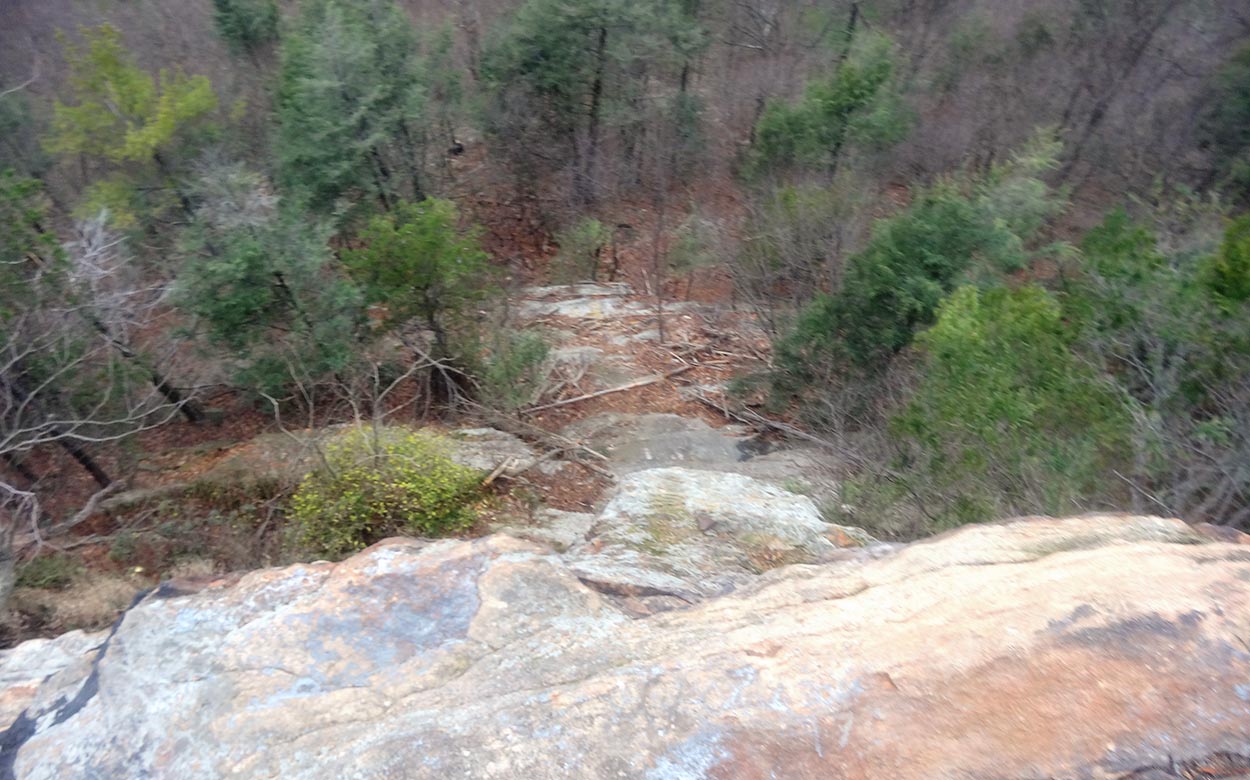
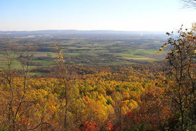
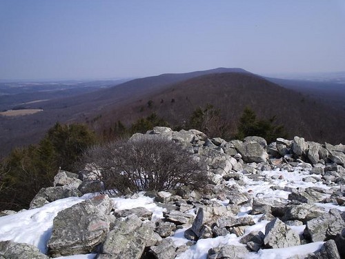
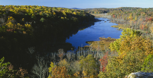
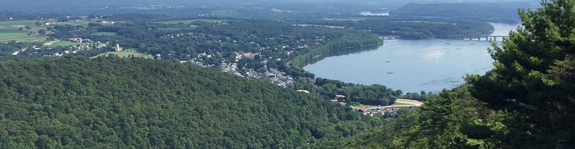
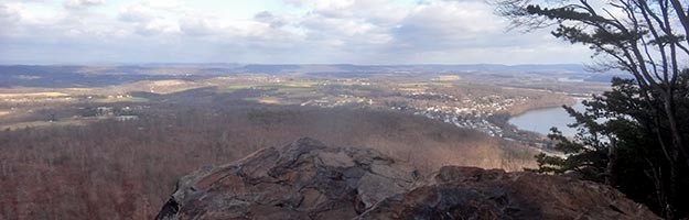
The View:
For more information about this trail, visit the Hawk Rock webpage.